|
| St Andrews on the sea |
 |
| Home moved here in 1760s from Maine |
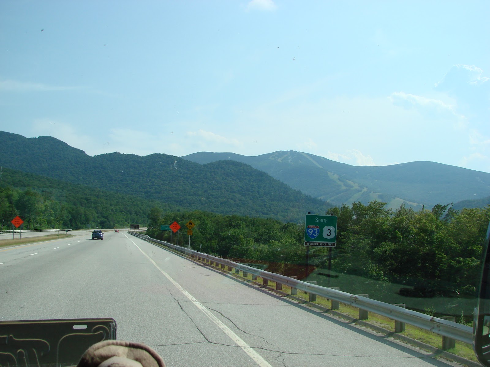
I took another week off work so we could get a taste of the Maritime Provinces of Canada. We left Ernie (our motor home) at our campground in Maine and took the car. We had a quick and easy crossing at Calais, Maine. Our first point of interest was St. Andrews, New Brunswick. This little town was founded in the 1760s by British loyalists from the colonies that didn't want to get involved in the American Revolution. It is a neat little town with a little harbor, a number of old homes dating back to the 1760s and early1800s, a blockade dating to the War of 1812 and, of course, shops and restaurants. Some of the Loyalists actually disassembled their homes and shipped them here on barges. One such home still exists and with that history, was our favorite find in this little town. We spent the first night in Saint John, staged for a busy next day.
 |
| Covered bridge in St. Martins |
We got started early the next morning thanks to someone in the room above us seemingly doing jumping jacks on our ceiling. It turned out to be a blessing. After breakfast we took a drive by the "Reversing Falls" in Saint John but they weren't reversing (tide was low and going out) so there was nothing of interest. Since we were up fairly early we decided to take the scenic loop (on 111) down through St. Martins. This was a scenic drive but the road was terrible most of the time. With an interesting history we thought there would be more to see in St. Martins. There were a couple old covered bridges and "The Fundy Trail" but not much else. We didn't drive The Fundy Trail because we wanted to get to Fundy National Park by low tide. So with that quest motivating us we moved along.
 |
Alma Beach high tide, looking to
where I was standing in the other
picture now in 36 feet of water |
 |
Alma beach low tide, looking in
from edge of water (3/4 mile out) |
The big draw at Fundy National Park is the extreme tide, the largest high-low tide variation in the world. We went directly to Alma Beach where, at low tide, you can walk out 3/4 mile on the tidal basin. Then when the tide is high, that same place where you stood is in 40 feet of water.
 |
| Boats in harbor at low tide |
Thus the desire to get there at low tide. We made it about 30 minutes after low tide so we got to experience the walk out on the basin. I went all the way to the waters edge. By that point it was over an hour after low tide and the tide was coming back in quickly. It comes in so fast you can literally see it moving and get a sense of how the tide rises around 40 feet (it varies) in 6 hours. Along the shore, docks have fishing boats sitting high and dry on stands. When the tide comes in it lifts them up and they are ready to go.
 |
| Boats close to high tide |
We watched other fishing boats that had been out with the tide patiently coming in with the tide so they could dock and unload (the blue one in the pic on the right). What an experience to learn about, eh? We stayed until about 30-40 minutes before high tide (within 3-4 feet) and figured we pretty much got the idea. Next, we wanted to get to Hopewell Rocks, about 35 miles away, to see that area close to high tide. Off we went on a race against the tide.
 |
"Flower Pots" about 4 feet below
high tide |
 |
"Flower Pot" - lower tide, about
half way down |
We made it to the Hopewell Rocks Park and then had to walk to see the rock formations. We do a lot of walking so we made the mile or so walk pretty quickly and could take a few pictures just 45 minutes or so after high tide, or about 5-6 feet down from high tide. After the walk back it was time to eat and relax after a full day.
The next morning we went back to Hopewell Rocks to see, and walk, the shore with the tide down. We got to the famous "Flower Pot" rock formations (called that because of the plants growing on top) about when the tide was a little more than half way down. The water was low enough to walk around the rock formations and be able to compare how things looked then versus when the tide was high the evening before.
 |
| Daniels Flats near high tide |
 |
| Daniels Flats near low tide |
We walked along the shore for about 2 hours so by that time the water was within 3-4 feet of low point. The rock formations carved by the tide/waves along with the amazing mud flats were a really great thing to witness.
This is the best link I could find trying to explain the giant tides in the Bay of Fundy.
http://www.greatcanadianparks.com/nbrunswick/fundynp/page4.htm
Our plans from there were to see the Citadel in Halifax, Nova Scotia and visit some old seaport towns east of Halifax so we drove to a hotel near Halifax to use as our next base for exploration. This was a pretty easy and picturesque drive around the Bay of Fundy, over rolling hills, and into Nova Scotia. We checked into our hotel and then drove downtown to check out the waterfront and get something to eat. We found the city to be clean and nice with a great mix of old and new buildings. Halifax is the oldest city in Canada but it doesn't show it.
 |
| Lunenburg Solomon House - 1775 |
 |
| Saint Johns Anglican Church - 1754 |
The next morning we drove down to Lunenburg about an hour away. This town was established in the 1750s as a planned community under the protection of the British Crown. Today, 70 percent of the homes and structures in the town are still from the 18th and 19th centuries. We spent a couple hours walking around town and along the waterfront enjoying the old buildings. Of all the old towns we've been through this was the most amazing we've been in as far as the number and percent of historic buildings. After lunch w
e drove through Mahone Bay to check it out and were thinking about going to Chester. However, we just kind of got seaport burnout and decided to head back to Halifax so we could tour the Citadel.
 |
| Citadel |
 |
| Citadel ditch |
 |
| Citadel |
The Citadel is located on a hill where three previous wood forts once stood. After the Napoleonic Wars ended in 1815 Britain decided it needed a more powerful and permanent structure. Construction began in 1828 and took 28 years to build the stone and earthen fortress. The Citadel was used by the British and Canadian military until after World War II. It was an interesting visit for us because it was so similar to the Citadel in St. Augustine FL although it was constructed nearly 150 years later. The Army museum that is housed there was neat with a lot of very interesting and unique artifacts. I could not get a picture of the Citadel from the outside because it sits on top of the hill. We ate and walked the boardwalk on the waterfront again because it was such a beautiful evening.
 |
| Halifax clock tower |
 |
| Lunenburg |
 |
| Lunenburg |
 |
| Lunenburg |
 |
| Lunenburg |
 |
| Fishing in the Bay of Fundy |